Aspects of Slavery and Freedom Seeking in North Carolina
Water-Absconding-Coastal Geography-Knowledge of Escape
The terrain of the coastal region gave freedom seekers places to hide. “Remote swaps and dense forests offered havens for runaway slaves who needed time away from the plantation, form, or industry.” The swamp also offered hiding places for freedom seekers who sought to leave the state by ship (Harriet Jacobs, others Underground Railroad) or by foot. On the other hand, the dense forests and swamps became home for some as the marooned in the state.
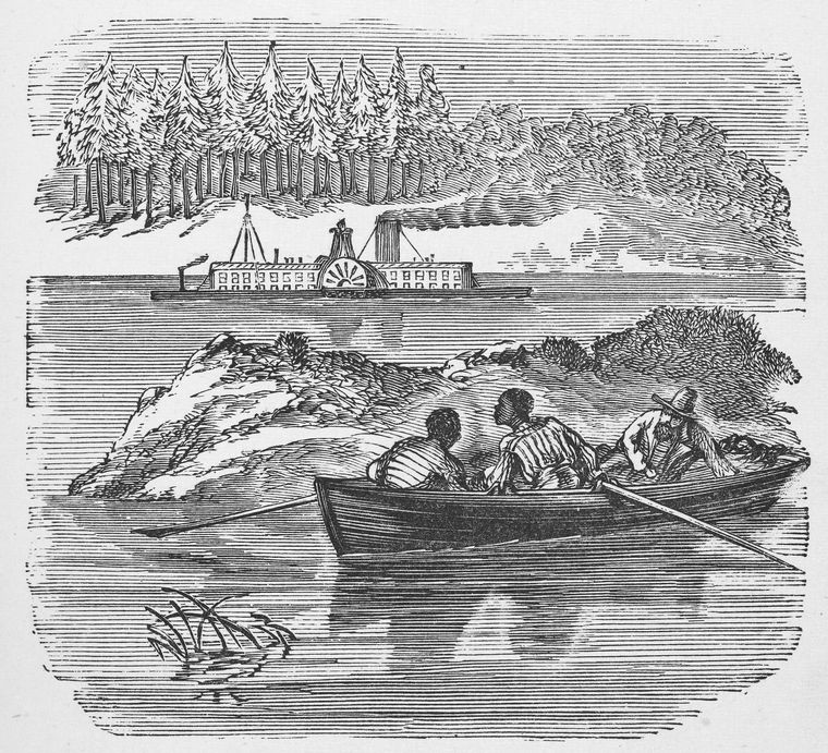
Waterways served as a chief and easiest way of escape in colonial and most of the antebellum period of North Carolina. The North Carolina coastal region is a place of waters and home to abundant hiding places, such as “black water swamps, pocosins, pine savannas, and tidal marshes.”
The importance of waterways cannot be understated. Early settlers of North Carolina in both the Northeast and Southeast region settled “along creeks, rivers, and sounds,” that is, along waterways. One can say that slavery in North Carolina developed along the rivers and streams. Lands with water access were the most valuable and mostly occupied by the wealthiest planters and slaveholders. See early maps HERE and HERE. Waterways were so important that most of the few roads that existed in North Carolina guided travelers to landings (small docks) connected to waterways along creeks, streams, and rivers. Horses and carts pulled up to the landings to load commodities onto flatboats, “canoes and sloops and were taken to larger ships that lay in deep waters.” It was more than likely that these items would be transported to Virginia or South Carolina, or further inland.
Taking into consideration that water was necessary for passenger travel and absolutely critical for transporting goods, and that this work was accomplished by blacks who ‘managed’ canals and boats, which hauled people and goods along these waterways. It is not difficult to understand how enslaved people escaped and how they received helped from black watermen.
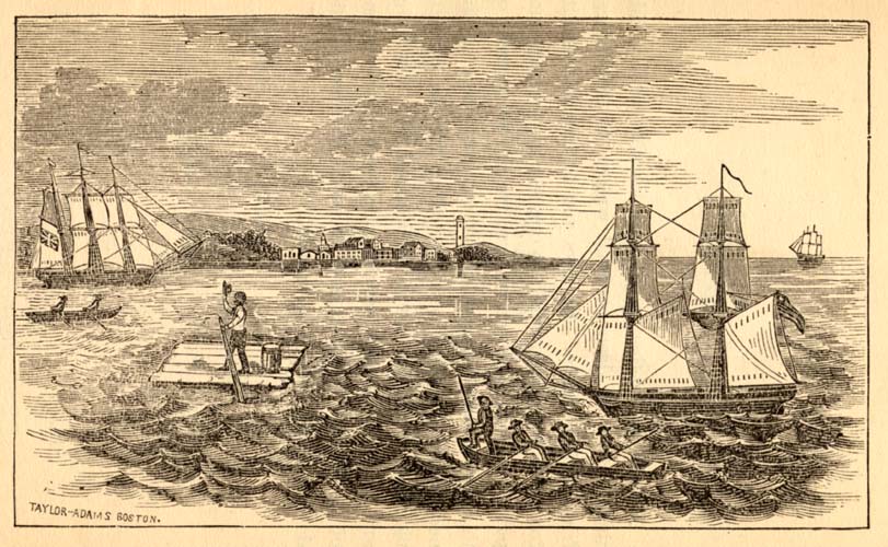
Popular destinations for large quantities of products were Suffolk and Norfolk Virginia, the West Indies, Philadelphia, New York, Charleston and Georgetown, and South Carolina. Enslaved people were present at each stage of tranportation of goods and in some cases, participated in nearly the entire process of transporting goods. This allowed water to gain extensive knowledge of entry and exit strategies.
Waterways for North Carolina were the easiest form of travel, but it was also the most difficult in some ways. The waterways themselves required work and attention, knowledge of navigation of the North Carolina rivers and sounds, and the coast was critical to survival as was the ability to navigate bad weather on the waters. Enslaved people were aware when a water route was inaccessible or how certain whether events could change routes of escape.
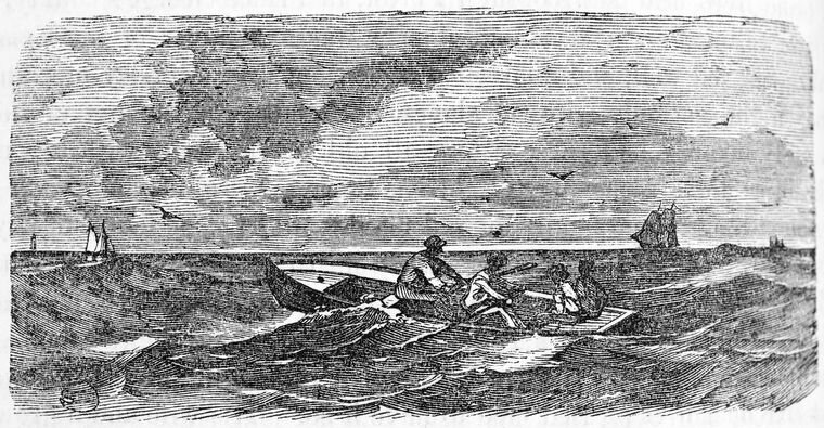
Enslaved people were essential and worked, in some capacity, in every aspect of the process of shipping goods and passengers. They were ”shipbuilders, caulker, sail-makers, and nautical tradesmen,” and all this should be taken into account when thinking about what enslaved people knew and who they met.